Going to the Chapel (Nusajaya to Port Dickson)
So one of my three lovely cousins is getting married this weekend. In an apparently lovely location called Janda Baik, which translated means "Good Widow". We're not a family that cares much about portents. Never been there, but I have heard good things and am looking forward to being there.
As my family is back home in the U.K for the summer holidays, I'm making the trip on my lonesome. Coincidentally I have work in KL for the week after, so I'll kill two birds with one stone.
I decided to ride, despite indications of bad weather, massive holiday traffic and having to lug extra stuff (i.e. clothes) for work; didn't have to bring my laptop - which I might regret later - since I'd asked a colleague to bring my presentation on his. Also, there are the added concerns of having to ride to a location at the heart of KL for the meetings, then make the trip from KL back home all in one day, which means highway riding.
I'm a bit better equipped this time. Didn't bring the camera (which so far I've regretted only once today), but I do have a luggage rack, a new seat and a nice Taichi roll-top 25L waterproof bag which I managed to get my hands on the night before leaving. I'll review the equipment in future posts.
I took an extra two days off, the Friday and the Monday. Wedding's on a Saturday (tomorrow), which gives me 1.5 days to get there and a day after to recover from the hangover before riding into KL. The plan was to ride Route 1 - the Route that eluded me on my last ride - into Port Dickson, then take the highways into Janda Baik. First day a planned 5 hours of riding, second at under 3.
I woke up at 0930 on Friday morning, two hours later than planned as my body clock was still adjusting to the time zone and I'd been up late sorting out "stuff". As a result I neglected to bring along two items that I felt might prove essential on this trip; a power bank and a pair of earphones that would fit under my helmet and allow me to hear Waze directions. Headed out at 1015 and made my first stop at the Shell petrol station just before the Sedenak exit (exit 250) on the North-South Highway.
Took the exit, made a right at the first T, made a left at the next T and I was on Route 1. Made a coffee stop in Simpang Renggam about 20 minutes later, where I learnt my first important lesson; a mobile phone uses copious amounts of battery power searching for reception when out of range. As a result, I was down to 21% power on my only means of navigation; I'd left my paper map behind as well. Resigned to a bit more adventure than I'd planned, I took a few screenshots of the important turns off Google Maps, turned my phone off to conserve power and headed on.
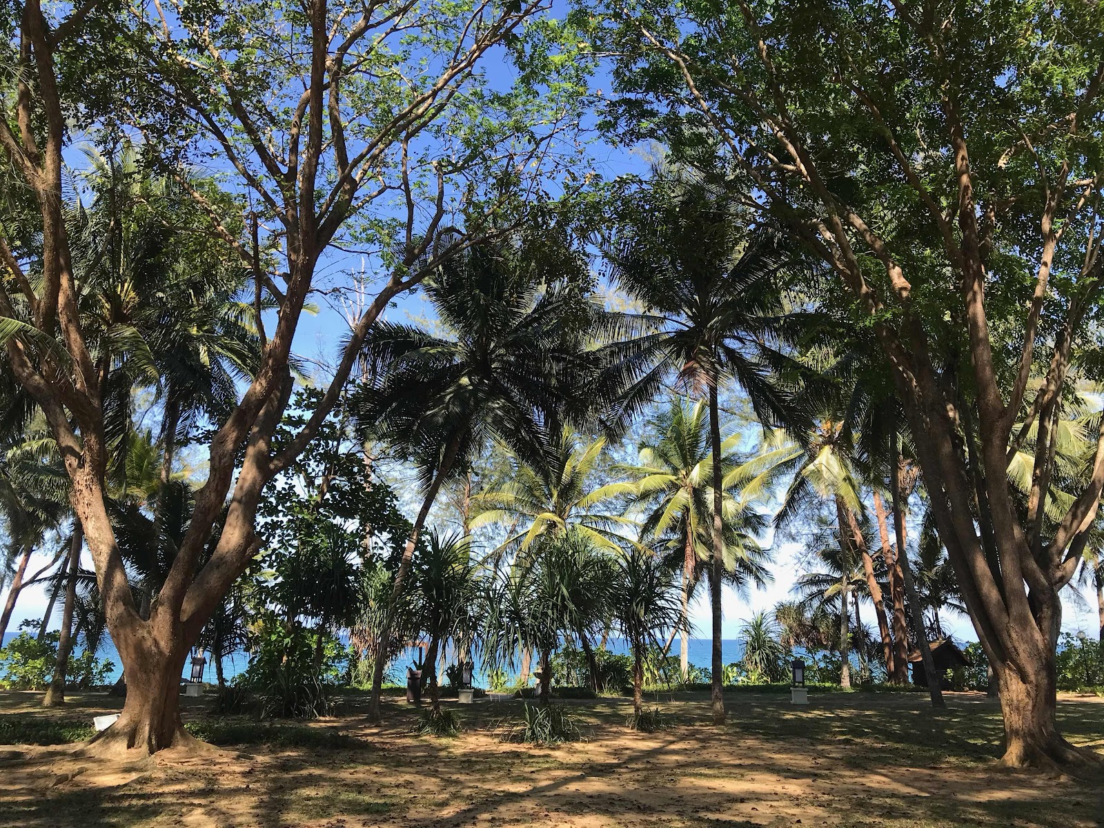
The next leg of the journey was a straight shot along Route 1 to a little town called Chaah. It's about 68kms and also took me through Yong Peng. The ride was fairly uneventful; good roads, very little traffic and wholly enjoyable. At Chaah, I refill my tank, drive a further 8km and then turn left onto Route 1417 which leads onto J230. And this, I must say, was the 30-odd km highlight of the day. This route goes through a place called Maokil (love the name as well), which is mostly plantations. The roads are completely empty, gently winding and hilly, well-surfaced and the scenery absolutely stunning. The "beware of animals crossing" signs delivered on their promise; I had to stop once for an iguana, slow down once for a monkey, and saw something cross the road in the distance that was canine-looking but definitely not a dog. I felt the now familiar lift of my spirits that comes to define the entire ride as worthwhile.
At the end of this road I make my first wrong turn. The signboard said left to Muar et. al. and right to Segamat et. al., and I thought Segamat made more sense. About 5kms later there was another turnoff to Kuantan and Segamat, while straight on was towards an area I'd already passed. It was time to check my phone, turn round and head back the way I came.
Muar certainly wasn't right, but the right move would've been to take the left and 300m later take a right onto J34, which I now did. 18km later, another left at the T onto Jalan Muar/Route 23. 21km further, T-junction again, this time a refuel and then right onto J123/Jalan Bekoh which went on for another 10km.
The 50kms or so above was good riding. Nice surfaces, gentle winds, little traffic, sparsely populated and plenty of opportunities to pass. At the end of this stretch (I remind you I was conserving battery power on my phone and had no navigation tool) I started following signs to Melaka which I knew would take me - at least for a while - in the right direction. What I DID need to do was find the AMJ highway, which was not really a highway but what I remember to be a straight shot from Melaka to Seremban. My guess was if I got here, Port Dickson would be signposted.
Well, I made it. Had to stop once in Alor Gajah to boot up my phone and check, but I got onto the AMJ which was dual carriageway, quite a few traffic lights and mildly heavy traffic, so I was fully focused on getting through while keeping half an eye out for a PD signpost. There wasn't any. But as I breezed through one of the many intersections, I did see a sign saying "Lubok Cina" which I remembered from my last "lost to Port Dickson" adventure, but I'd missed it. Deciding to wait until I saw better signs, I kept on heading towards Seremban.
At some point, I end up taking a left and finding myself back on Route 1. And then I pass a resort air pandas of some sort, and finally got to a signpost that said "Seremban 56km" and "Port Dickson 74km", but no indication of which direction. At this point, I realize I've probably overshot Port Dickson and taught me the second most important lesson of the day: unless you're on the North-South Highway, Port Dickson is a bitch to find. Took me two tries to figure this one out.
On a whim I take an exit that says Linggi, and pull over to check my phone for what would probably be the last time. I was right, I was way past Port Dickson but the road to Linggi will take me back in the right direction. I was now on the N5 between some funky train station and Rantau, which should connect me with a simple right turn onto the N8 which was then a straight shot into PD. If only it was properly signposted.
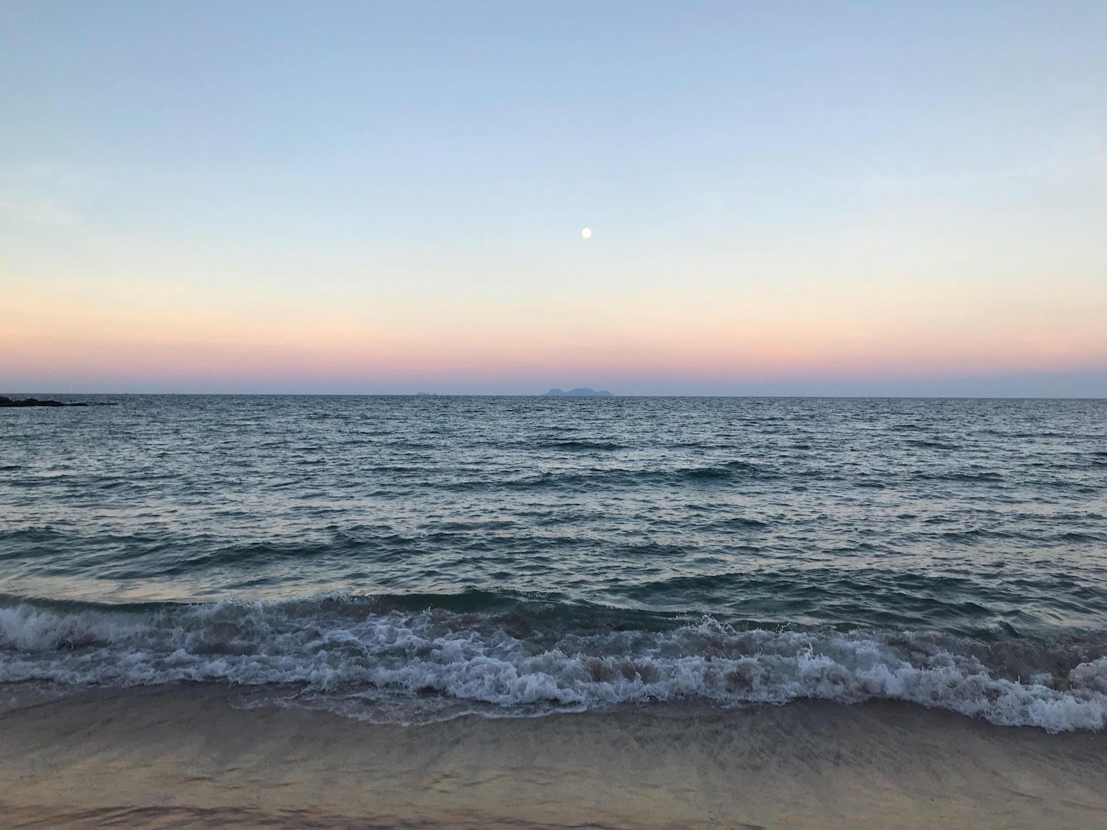
Well, it wasn't. I came to at least three junctions that pointed to PD in two different directions and had to guess. After a number of guesses, and probably circling PD like Apaches on the wagon trail, I arrive in PD town. As I'd come in by a different direction and hadn't really seen the town on my last visit, I followed signposts to Melaka, which got me onto the start of Route 5 and took me to the Avillion Admiral Cove which is at the southern end of the town right on 1800hrs.
What was supposed to be a 4.5 hour ride had turned into close to an 8 hour one. I was sore, tired, thirsty and hungry, my last full meal having been dinner the night before. My first question upon arriving was if the pool was still open, since it was I headed down for a quick dip. This was followed by two pints of beer and a nasi goreng kampung. I was in bed reading by 2115hrs, and turning the lights out at 2150hrs. As I closed my eyes I asked myself if I was really up to riding again the next day?
Hell, yes.

Comments
Post a Comment